
Keller Neighbors by the Block
The public record around a Keller address is layered. A parcel map places the land. The appraisal and tax rolls identify the account and owner mailing information. A deed or plat explains a legal lot, subdivision, easement, or recorded interest. Community association material may identify an association or its management contact, but private membership is not an official household directory. These sources are useful for understanding the immediate block, as long as ownership is never treated as proof that a person lives there.
| Source | What It Shows About a Block | Access |
|---|---|---|
| Tarrant County Public Map Viewer | Adjacent parcels, owner or address searches, and linked map layers | Public web map |
| Keller parcel and GIS layers | Parcel, subdivision, roads, city limit, ZIP and related landbase layers | Public map and REST services |
| Tarrant Appraisal District and tax records | Owner, mailing and situs address, legal description, and account clues | Public property search |
| County deeds and plats | Lots, blocks, conveyances, restrictions, and easements | Public index and copies |
| HOA certificates and community sites | Association name, type, city or ZIP, and management contact | Public certificate or association route; no roster |
For a historic angle, criss-cross directories, archive maps, and library material can help reconstruct a block at a particular time. They should be read by edition date and page, not as a current occupancy claim. The source and date matter as much as the name.
Mapping Keller Neighboring Parcels
The adjacent-parcel method begins with one confirmed site. In the Tarrant County Public Map Viewer or Keller GIS, search the address, account, or owner route, then turn on parcel, subdivision, street-centerline, city-limit, and ZIP layers. Read the parcels that share a boundary or front the same side of the block. A corner lot can face two streets. A multi-unit or association parcel can have one situs address while serving many units.
- Locate the target parcel and record its site address, parcel identifier, legal description, and map date.
- Click the surrounding parcels one at a time, keeping boundary-sharing parcels separate from parcels merely nearby on the map.
- Open each official property card for the owner and mailing clues, then compare its legal description with the map and any deed reference.
- Use the recorded instrument or plat only when a lot, restriction, access, or earlier conveyance needs confirmation.
- Stop at the information needed for the block question. A map does not justify collecting a household list.
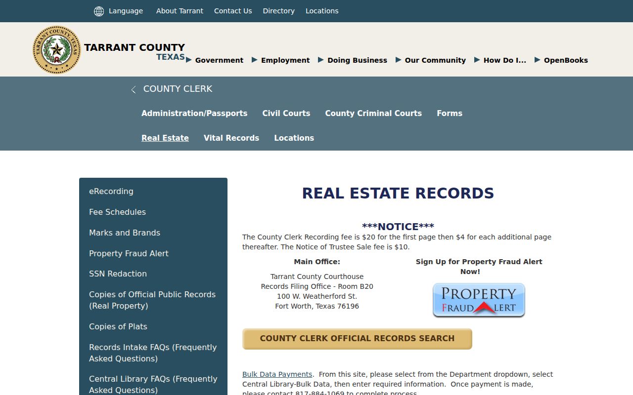
The Tarrant County Clerk real-estate records page explains the official-records and property-fraud-alert route.
A deed is strongest for a recorded land interest, not for present occupancy. For a full named-street chain rather than the immediate block, use the Keller address directory route.
Keller Neighbor Addresses and Units
Keller's TC911 address-point schema separates house prefix, number, suffix, direction, street name, street suffix, community name, postal name, ZIP, building, floor, unit, suite, room, apartment, landmark, and update fields. That structure is useful when two locations look alike or a building has several units. It is an address-normalization layer, not a list of people at an address.
The city street-centerline information also has left and right ZIP and city fields. One side of a road can carry a different postal or administrative label from the other. Compare the parcel geometry, property situs, and USPS result rather than assuming that a matching ZIP proves the same neighborhood or municipal status. The research identifies 76244, 76248, and 76262 as Keller-area labels, with exact parcel and postal verification needed at boundary locations.
- Situs address
- The physical location of the parcel or building in the property record.
- Mailing address
- The address used by the property account holder for correspondence, which can be elsewhere.
- Legal description
- The subdivision, block, lot, abstract, or survey wording that identifies land beyond a street address.
Keller Neighbor HOA Records
Keller GIS subdivision and HOA layers can make a block's community geography clearer. The Texas HOA management-certificate search can identify association name, type, city or ZIP, and management information. It does not convert a private association into a public roster. Use it to determine whether an association is relevant, then rely on its public contact route for community questions rather than attempting to identify member households.
| Community reference | What the public material can support | Limit |
|---|---|---|
| Hidden Lakes | Named villages, management office, amenities, events, and board or manager contact | Private membership details were not located |
| Gean Estates and Heatherwood Estates Phase III | Keller city or ZIP association examples in management-certificate material | Certificate information is not a household directory |
| Chase Oaks, Creekview, and Meadows at Bear Creek | Additional Keller-area association names to compare with the parcel subdivision | Confirm the exact parcel before assuming coverage |
| Manors at Waterford, Oakmont Hills, and Hillsborough | Association-name clues for subdivision research | Contact data may change and needs source confirmation |
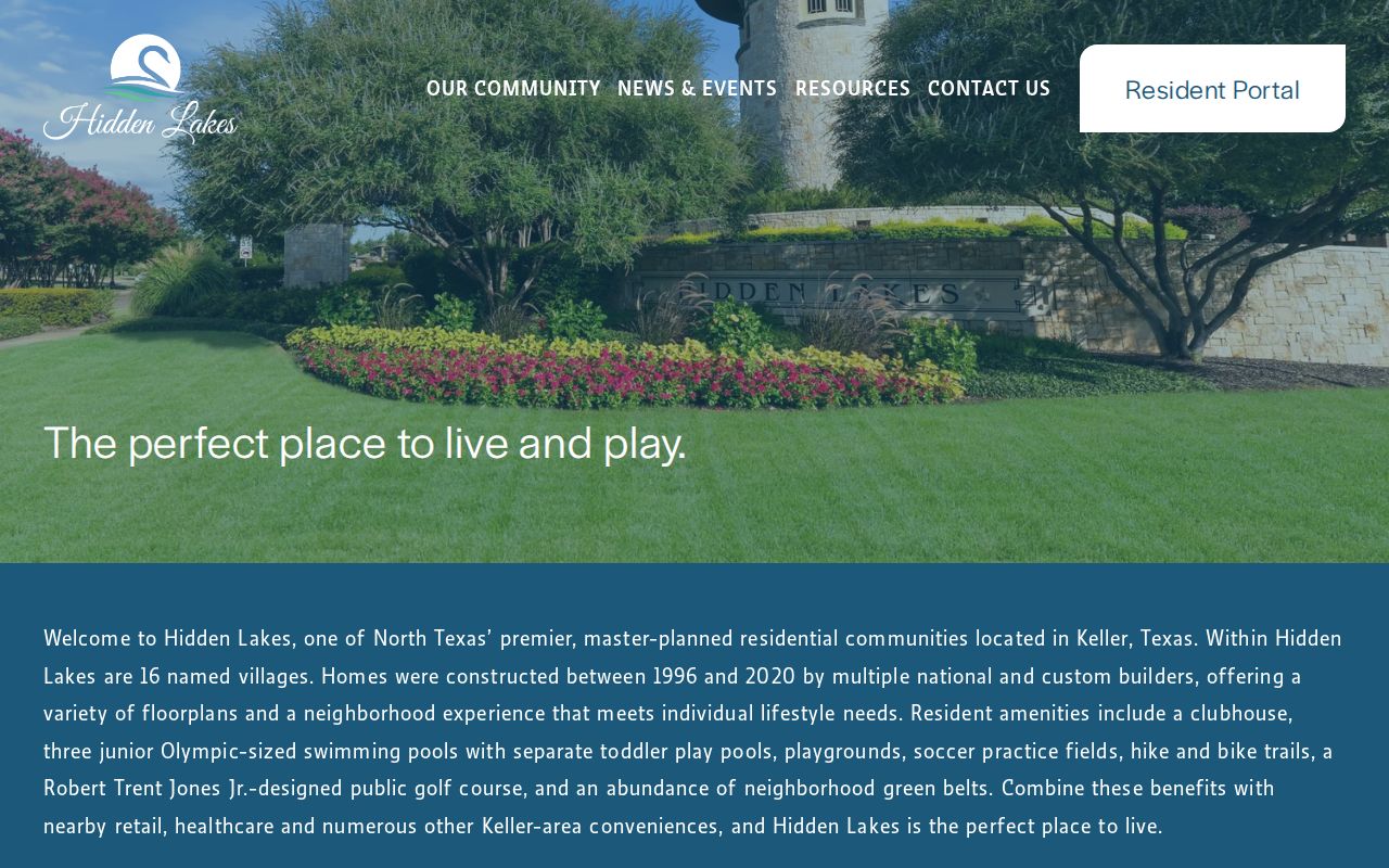
The Hidden Lakes HOA public site is an example of a community route that lists villages and resident resources.
Use the association's published contact details for an association matter. Do not infer that every parcel near the subdivision label is a member, and do not treat a public community page as a directory of neighbors.
Hidden Lakes and Keller Neighbors
Hidden Lakes records list homes built from 1996 to 2020 and a management office at 2700 Bear Creek Parkway in Keller. Its public-facing material names villages, amenities, events, and management or board contacts. Those facts help explain a community's geography without identifying households. Other Keller GIS layer names include subdivisions such as Ashbrook, Bella Vista, Bourland Oaks, Bridgewood, Brookstone Villas, Carriage Gate, Fall Creek Estates, Highland Creek, Marshall Point, Preserve at Hidden Lakes, Southern Hills, Tuscany, and Woodland at Hidden Lakes.
Keller's National Night Out registration is another block-geography clue. The city form asks for a neighborhood name, event address, start and end times, and event details. The documented 2026 form sets an Oct. 6 event date and a Sept. 27 registration deadline. It identifies an organized event location, not every household on the block. That distinction protects both the people nearby and the usefulness of the record.
Note: Same block, same subdivision, and same association are separate geographic relationships that should not be collapsed into one claim.
Keller Neighbors: Official Tools
Official parcel, tax, deed, map, and association sources each show a defined part of the block. Commercial neighbor-search tools are a separate category. They may combine old addresses and other data, but they are not authoritative proof and cannot replace the source custodian. Compare the category of information, its date, and its access limits before using it for personal research.
| Tool category | Best use | Important limit |
|---|---|---|
| Official parcel and tax rolls | Parcel, owner, mailing and situs comparison | Owner and occupant are different roles |
| Official deeds and plats | Legal description, conveyance, restrictions, and lot history | A recorded interest is not a current household list |
| Official map and address layers | Block geometry, address normalization, ZIP, and city context | Map proximity does not establish a personal relationship |
| Commercial neighbor-search tools | Possible leads to check at the source | Accuracy, currency, privacy, and source transparency can vary |
Use the official detail card or custodian when a fact matters. Preserve a result's date and record type. Do not copy unneeded personal fields into a new list, and do not use a stale match to contact or confront a person.
Keller Neighbors in Archive Maps
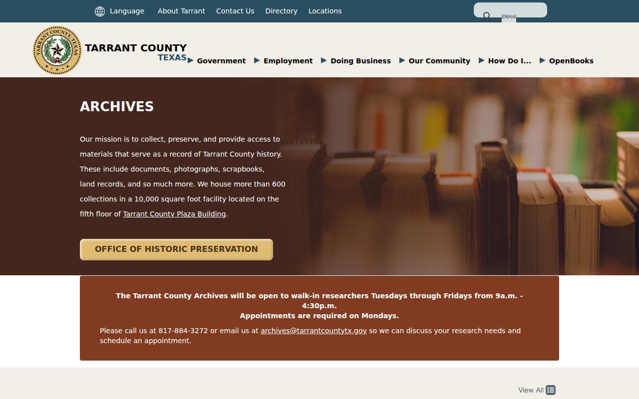
When a current parcel does not answer an historical block question, the fallback chain is the Tarrant Archives, library collections, criss-cross directories, deed cards, plats, and then a records request or in-person records-desk visit. The Tarrant Archives Genealogy holdings include historic maps and city directories, as well as marriage volumes, probate abstracts, school census, cemetery records, and named collections. They can corroborate a past address or local relationship when read in context. Ask the archives or records desk by phone when a collection is not online, and use a Texas Public Information Act request for existing public maps or records when the documented route calls for one.
The Tarrant County Archives page describes its historical holdings and research access.
Archive material is most useful when the search notes the collection, volume or map, date, page, and the role shown. It can establish a historical clue without claiming that an old directory entry represents who lives there now.
Privacy Limits for Keller Neighbors
Texas privacy rules matter at the edge of every block search. The Address Confidentiality Program uses substitute post-office boxes for qualifying survivors, and confidential voter records can mask address information. Birth, juvenile, sealed, expunged, victim, and protected personal records have separate limits. Do not reverse-geocode an ACP or confidential voter address from nearby parcels, and do not expose unit details, children’s information, or other sensitive data that the public source does not need to answer a lawful question.
Texas voter material can identify limited registration and election-participation fields that state law allows, but never how anyone voted. Social Security, Texas driver-license, and DPS identification numbers are confidential, and a voter may suppress web display. A block map, a nearby parcel, or an association name is never a reason to work around an asterisked or substitute address.
The Texas Public Information Act gives access to existing government information subject to its exceptions. It is not a right to demand a newly created neighbor list. If a property, map, or association record appears wrong, contact the custodian or association through its published route with the parcel or document detail needed to identify the issue.
Lawful use. Keller neighbor research is for personal, lawful purposes such as understanding a block, reconnecting through an appropriate public channel, or checking a property record. Never use it to watch, stalk, harass, intimidate, or harm anyone.