
Keller ZIP Coverage
Official Tarrant map and Keller GIS material show three confirmed Keller-area ZIP labels: 76244, 76248, and 76262. Each ZIP code is a delivery geography, not a municipal boundary survey. The postal city on a letter can therefore differ from the city that provides municipal services, and a ZIP map cannot settle a parcel question by itself. The adjacent labels 76137 and 76180 appear on regional map material, but the research did not confirm them as ZIPs serving Keller city-limit parcels. Treat both as boundary-check cases and test the precise address.
| ZIP | Areas Covered | Post Office | Notes |
|---|---|---|---|
| 76244 | Keller-area postal service, with Fort Worth-labeled delivery context on the official map | Keller Post Office is 76248; do not infer the retail office from this delivery ZIP | USPS changed the last line for 17,500 former 76248 deliveries to Fort Worth TX 76244 in 2009. |
| 76248 | Keller postal area, including the Town Hall postal line | Keller Post Office, 520 E Vine St, Keller TX 76248-2300 | Not every parcel within Keller city limits necessarily uses 76248. |
| 76262 | Keller-area and adjacent coverage shown by the Tarrant ZIP map and Keller GIS | Exact office for an individual street was not located | The postal city may be Roanoke, so verify the parcel and USPS result. |
The 76248 office has retail hours Monday through Friday, 9 to 6:30, and Saturday, 9 to 12. Its kiosk operates around the clock, and its listed telephone number is 817-431-4922. Those details make the office a helpful postal anchor. They do not mean every 76248 delivery is close to East Vine Street, and they do not establish a person’s residence.
Check Keller ZIPs With USPS
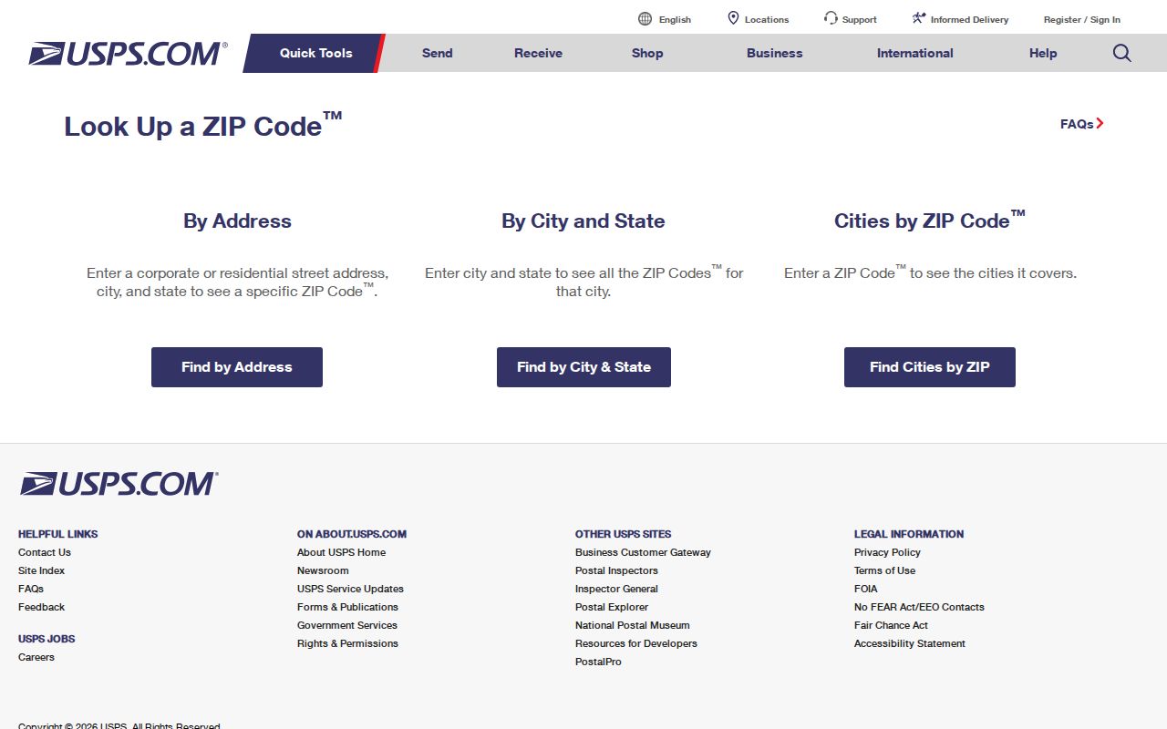
The USPS lookup has three different checks. By Address standardizes a delivery address. By City and State lists ZIPs associated with a city and state. Cities by ZIP returns the city and state names USPS associates with a code. The result may suggest a standardized line, but USPS says it does not confirm that a person or company is at that address. That limit matters when an old directory, a deed, and a current delivery line do not agree.
The USPS search screen shows the address, city-and-state, and city-by-ZIP routes used to normalize a Keller postal line.
Use the returned spelling and ZIP as one recorded layer, then preserve the original spelling from a dated historical source instead of silently replacing it.
| USPS mode | Fields and result |
|---|---|
| By Address | Street Address, City, and State are required; Company, Apt/Suite/Other, and ZIP are optional. It returns a standardized delivery address. |
| By City and State | City and State are required. Use it to see ZIPs USPS associates with that city-state combination. |
| Cities by ZIP | ZIP is required. It returns associated city and state names, not an occupant list. |
Keller Postal Shift in 2009
Postal history can explain a result that looks wrong at first. On May 21, 2009, a USPS Postal Bulletin directed the last line Fort Worth TX 76244 for 17,500 deliveries that had previously used 76248. A record created before that change can legitimately carry a different last line from a more recent record for the same general Keller-area geography.
Keep the source date with each address. For a deed, clipping, or family letter, search both the municipal name and the postal line that appears in the document. Do not rewrite a historic 76248 line to 76244, or the reverse, merely to make a search look consistent. Keller Town Hall illustrates the distinction: its street address uses Keller TX 76248 while its mailing post-office box uses Keller TX 76244.
Note: A changed delivery line is a postal convention, not evidence that a household moved or that a parcel crossed the Keller city limit.
Keller Street-Side ZIP Geography
Keller’s landbase makes a ZIP-focused search more precise than a citywide ZIP list. Its street centerline stores left and right ZIP and city values, identified as ZIP_L, ZIP_R, CITY_L, and CITY_R. A road can therefore have a different postal or city label on each side. A surprising map, tax, or USPS result may be describing the correct side of the road rather than an error.
The Keller landbase layers include parcels, subdivisions, street centerlines, city limits, buildings, parks, schools, rail, ZIP or grid context, and related map references.
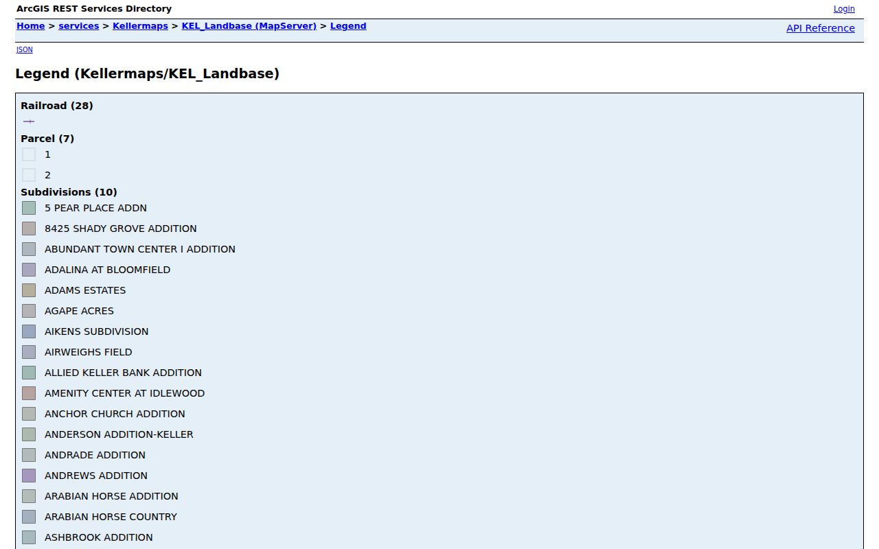
Those layers help place a property within Keller geography, but they are not a legal, engineering, or survey substitute. Use the parcel, city-limit, and street-side fields together when a ZIP must be checked closely.
Find Keller Records by ZIP
ZIP searching works best as a narrowing step, not as a resident list. Begin with the delivery address, then use official property and map systems to identify the parcel and its record trail. Tarrant Appraisal District accepts name, address, account, or geo-reference text in its public search. The Tarrant tax portal distinguishes Property Address from Owner Address and owner name. Neither distinction lets an owner mailing address stand in for the physical situs address.
- Confirm the full delivery line through USPS, including unit information when it applies.
- Open the Tarrant Appraisal District search with the street address or known account and record the property address, account, geo reference, and legal description.
- Use the Tarrant County Public Map Viewer or Keller GIS to compare the parcel with city-limit, subdivision, street-centerline, and ZIP layers.
- For a tax account, choose Property Address for the situs or Owner Address for a mailing clue. A separate ZIP field was not located in the tax search.
- Where a name must be verified, compare only the official record fields appropriate to the question and retain the record date and source.
Texas voter lookup uses a name, VUID, or an eligible Texas driver-license route. The statewide public-information voter-file request is organized by county, district, precinct, or all records, not by a documented ZIP filter. Registration information is subject to confidentiality rules and does not reveal vote choices. Once a ZIP has narrowed the geography to a particular road, the Keller by-street directory explains the address-level record trail.
Keller ZIP Parcel Clues
A postal code is only one of several location descriptions used in Keller records. The appraisal card can supply a property or situs address, legal description, subdivision, block, lot, and geo reference. The tax account can show a mailing address that differs from the situs. The County Clerk deed index carries the legal description and recorded-interest trail. Keep these separate, especially when the same name appears at more than one address.
- ZIP and ZIP+4
- A ZIP is the basic delivery code. ZIP+4 adds a more specific delivery segment; it is not a municipal boundary or a person identifier.
- PO-box ZIP
- A code assigned for post-office boxes. It directs mail to boxes and does not describe every street delivery in the surrounding area.
- Unique ZIP
- A ZIP used for a single qualifying organization or high-volume receiver. The research did not identify one for Keller.
- Carrier route
- A mail-delivery sequence used operationally by USPS. It can help describe delivery geography but does not prove a household relationship.
Keller ZIP Boundary Cases
The 76262 label needs extra care. Official county map and Keller GIS material place it in Keller-area and adjacent coverage, yet its postal city may be Roanoke. The 76137 and 76180 labels are nearby regional-map context only. The research did not establish that they serve Keller city-limit addresses. A postal city can be useful for mail, while the parcel layer, legal description, and city-limit layer answer different questions.
For a boundary case, write down the full USPS result, then capture the TAD situs, parcel geometry, municipal city-limit result, and deed legal description as distinct facts. Check the exact address before asking a municipal office for a record. This method avoids treating a Keller delivery ZIP as a shortcut for jurisdiction or a city name as a substitute for a delivery line.
Keller ZIPs and City Limits
Keller city limits and postal geography changed on different timelines. City history notes sewer service beginning in 1950 when the population was roughly 300, while late-1980s and early-1990s annexation brought developed areas with houses and septic systems into municipal limits. An older address may be rural or Tarrant County in one source and linked to Keller services later, without a household moving.
New development adds another timing issue. Keller development guidance notes that street names and address ranges can take time to enter the 9-1-1 or dispatch system, and permanent addressing is tied to plat or site-plan acceptance. The TC911 layer preserves fields for house number, direction, street name, building, floor, unit, postal name, ZIP, city, county, and update data. It normalizes an address; it does not publish an occupant roll.
Keller Names Outside ZIP Searches
Not every state name search belongs in a postal-area search. The Texas Comptroller Claim It search is an unclaimed-property source with name or business search and claim-status controls. It may be useful to a person pursuing an old asset or estate matter, but it is not a property roll, a postal locator, or proof that someone lives at a Keller address.
The Comptroller search screen is a reminder to label the source before drawing a conclusion from a name match.
For a ZIP-based question, return to USPS and parcel geography. For an unclaimed-property question, follow the Comptroller’s claim process and its identity requirements.
Keller Postal Verification Chain
One Keller address can cross five systems: the USPS delivery line, a TC911 normalized point, Keller municipal GIS, a TAD or tax account, and a County Clerk legal description. Differences are often clues to record type, date, parcel side, or mailing use. They are not a reason to merge names, unit numbers, or locations without matching records.
When an older record uses Double Springs or Athol, search those historic Keller names as well as the current city name. Keller’s post-office change in 1886, incorporation in 1955, and later boundary growth all affect the wording found in historical material. Preserve each source’s date and exact address line. That preserves the limits of delivery geography while making historical research more accurate.
Note: USPS can validate a delivery line, while the custodian of the relevant parcel, court, city, or county record remains the source for that record.